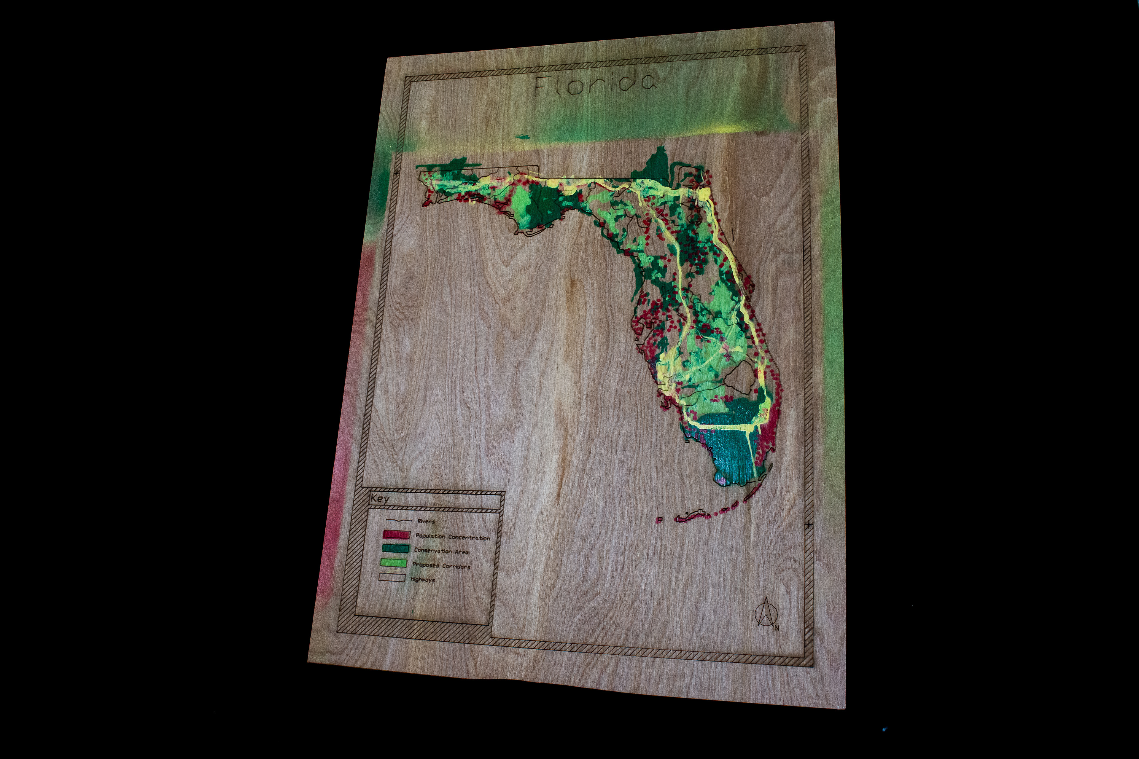
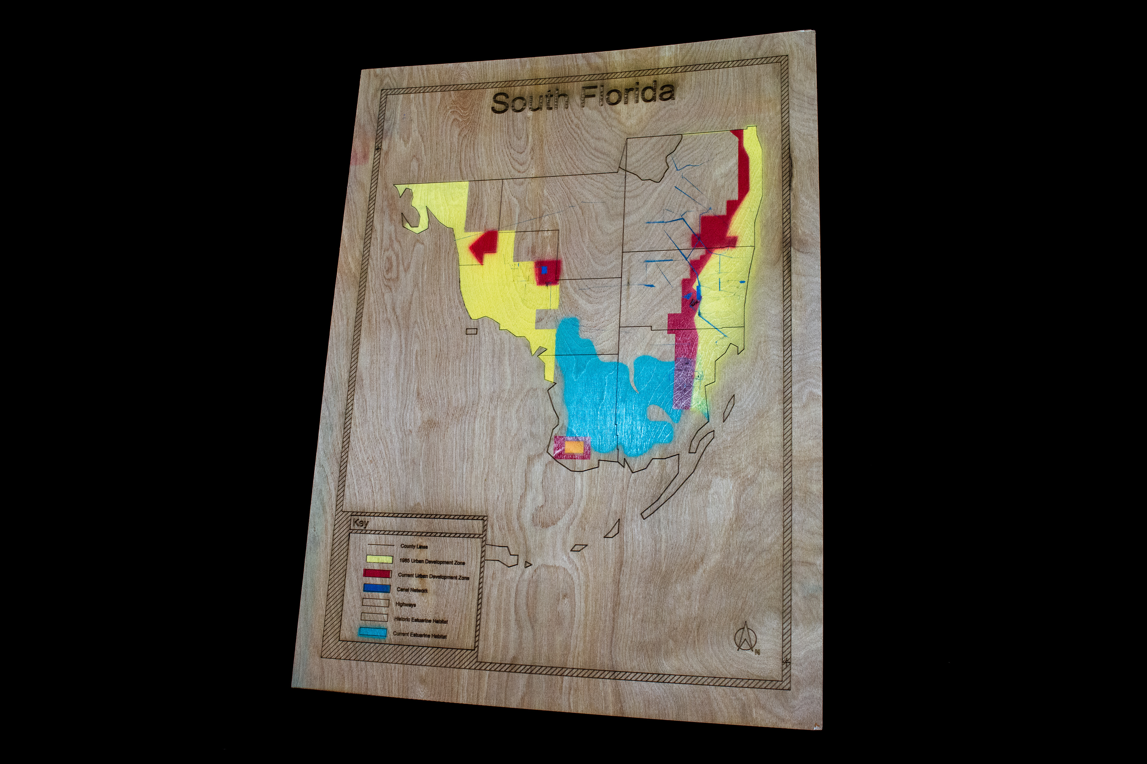
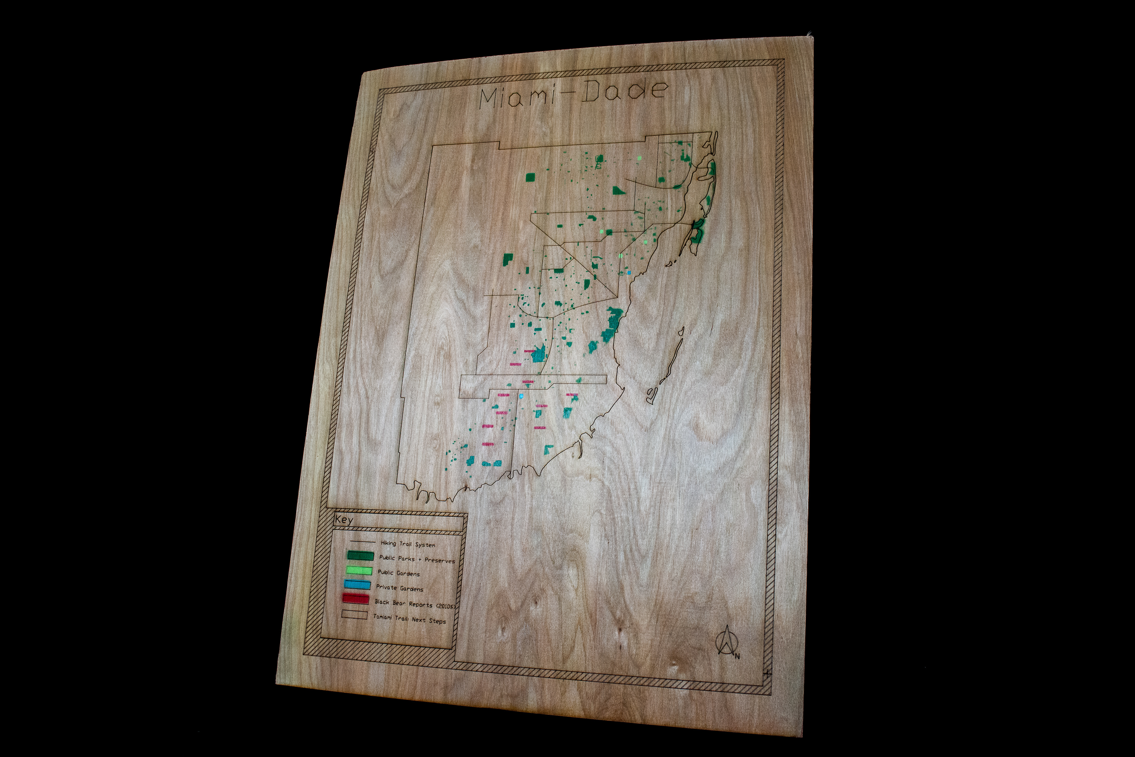
The four maps, together, illustrate the following narrative:
"The Okeechobee Basin was drained in order to meet the freshwater needs of a growing population along the coasts of Florida. The water diversion infrastructure has resulted in reduced southbound water flow and Tamiami Trail serves as a water flow chokepoint; inhibiting the already reduced flow to continue south towards the Florida Bay. This has resulted in the increasing salinity of the Everglades, leading to massive fauna and flora die-offs in the region meaning a decrease in animal food sources and overall breeding populations.
As a consequence, a steady increase of fauna have entered the urban development zone in search of new food sources and mates. Ideally, this wouldn't be a problem. However, the scarcity of urban parks and the failure to establish green spaces in close enough proximity to one another to serve as wildlife corridors has produced the outcome of a steady increase in unfavorable human-wildlife encounters."
Category
Academic
Location
Florida, US
MAP PHotos


